Most of Alberta’s Rocky Mountains finished uplifting 50 million years ago – they’ve been pouring sediment across the province ever since. The Rockies shaped our water drainage network and, with the help of glaciers, erected the house of silt, sand, and stone that we all live in. The tilt that our mountains built is largely responsible for the development of our prairie soils and modern agriculture. Our mountains have also shaped how cultures interact and move, which has moulded much of our history.
At first glance, the Rockies are imposing – an impressive barrier rising from the foothills like a stony gate. But for thousands of years, people traveled across and within them to trade and acquire goods. Groups in southeastern British Columbia, like the Kootenai, often descended into Alberta’s valleys to hunt bison and other big game. The Kootenai engaged in trade and formalized sport (like the hoop and arrow game) with local Blackfoot, Cree, and other groups. Large caches of meat and hides were then transported back across the mountains. Some people, like the Cree and Dene from the Eastern Slopes and Alberta’s mountains moved west across the continental divide to catch salmon and trade for exotic materials. Archaeologists have uncovered artifacts indicative of cross-mountain exchange stretching back 10,000 years. Jade artifacts from southern B.C. are found across northern Alberta, obsidian artifacts from volcanic sources in northern B.C. are found along Alberta’s Eastern Slopes, Pacific Coast seashells have been found in archaeological sites on Alberta’s Plains, and a host of other artifacts are directly attributable to cross-mountain contact that existed for thousands of years. One of the oldest dated archaeological sites in Alberta is in Banff National Park (Vermilion Lakes at 10,300 years old), suggesting that people have been comfortable in the mountains for millennia. Some archaeologists think that the mountains posed no barrier to the movement of ideas either: the atlatl weapon system may have origins in the West and the bow and arrow may also have spread from B.C. to Alberta a little over 2000 years ago.

How did people navigate the Rockies? Most likely by utilizing established trail networks through valleys and passes. European explorers, like David Thompson in the first decade of the 1800s, often relied on First Nations guides to locate these ancient corridors and alpine passes as they charted the fur trade empire that immersed Alberta in a continent-wide economy.

The beauty and remoteness of many mountain regions made them attractive for the establishment of Canada’s first national parks; Banff National Park in 1885 and Jasper National Park in 1907. European diseases hit hard many First Nations that resided within the future mountain parks; some of the First Nations and Métis survivors living within intended park boundaries were forced to relocate, which severed a long connection between people and place.
Although the purposes have changed, the establishment of a tourist industry and current myriad of hiking trails has revived the movement of people across the Rockies. Even the human-induced transportation of bison over the mountains has been resurrected. Parks Canada recently relocated bison from Elk Island National Park to Banff in an effort to re-establish plant and animal communities that existed for hundreds of years. Aside from historical records of bison activity in the mountains, archaeologists have found excellently preserved bison bones in ice patches high in Alberta’s mountain parks, which is a testament to their high altitude adaptations deep in pre-contact times. Parks managers are also recognizing that First Nations occupants of mountain parks played a large role maintaining biological diversity (e.g., through landscape-wide burning) and have re-introduced some of these practices to parks.

The tradition of transporting goods across our Rocky Mountains continues with the development of new pipelines and highways. Developers and land managers have a tough task of delivering materials to coastal markets and ports while balancing the need to protect environmentally sensitive landscapes. The mountains continue to pose challenges to the movement of people and materials that continues to be met through innovation and communication.
Heritage Art Series
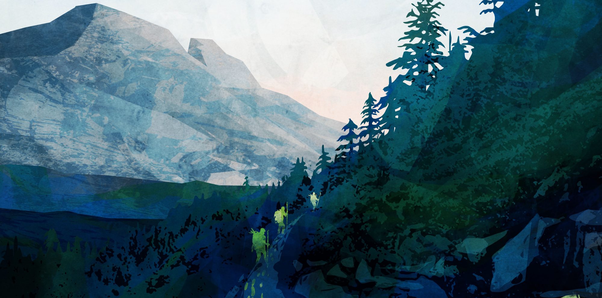
The Heritage Art Series is a collaboration of the Historic Resources Management Branch, the University of Alberta, and the Royal Alberta Museum. Each artwork shares an important story about the people of our province: we hope it fosters a greater awareness of our past and instils a deeper respect for it. The scene below, by Calgary artist Micaela Dawn, represents the amazing history and archaeology of human movement across the mountains. Advanced archaeological techniques, like sourcing jade and obsidian artifacts, are highlighting traces of footprints across our Rockies. Want to learn more? The Rocky Mountain Anthropological Conference will be held in Canmore, Alberta in September, 2017 and will feature exciting research about human adaptations to high altitude environments.
Written By: Todd Kristensen (Archaeological Survey of Alberta) and Timothy Allan (University of British Columbia)


3 thoughts on “Mountain Movement: How the Rockies Shape Alberta”